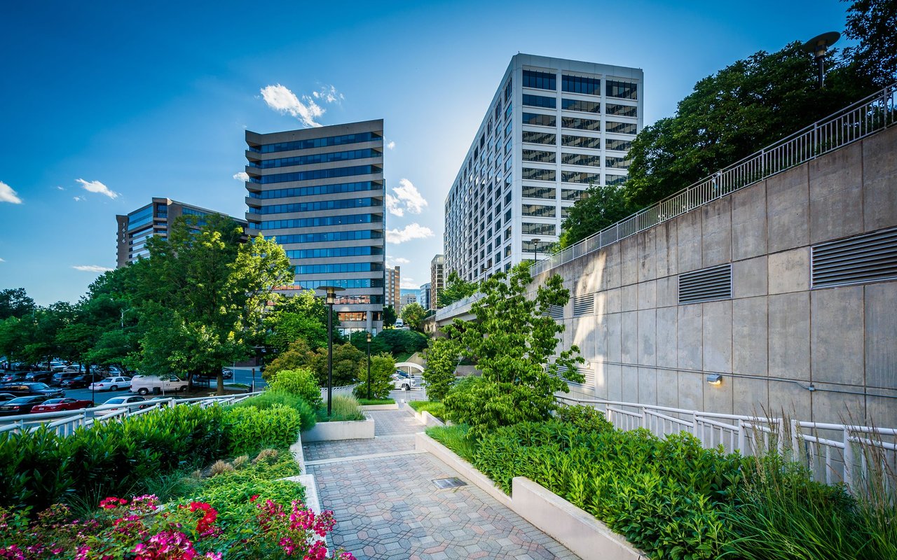
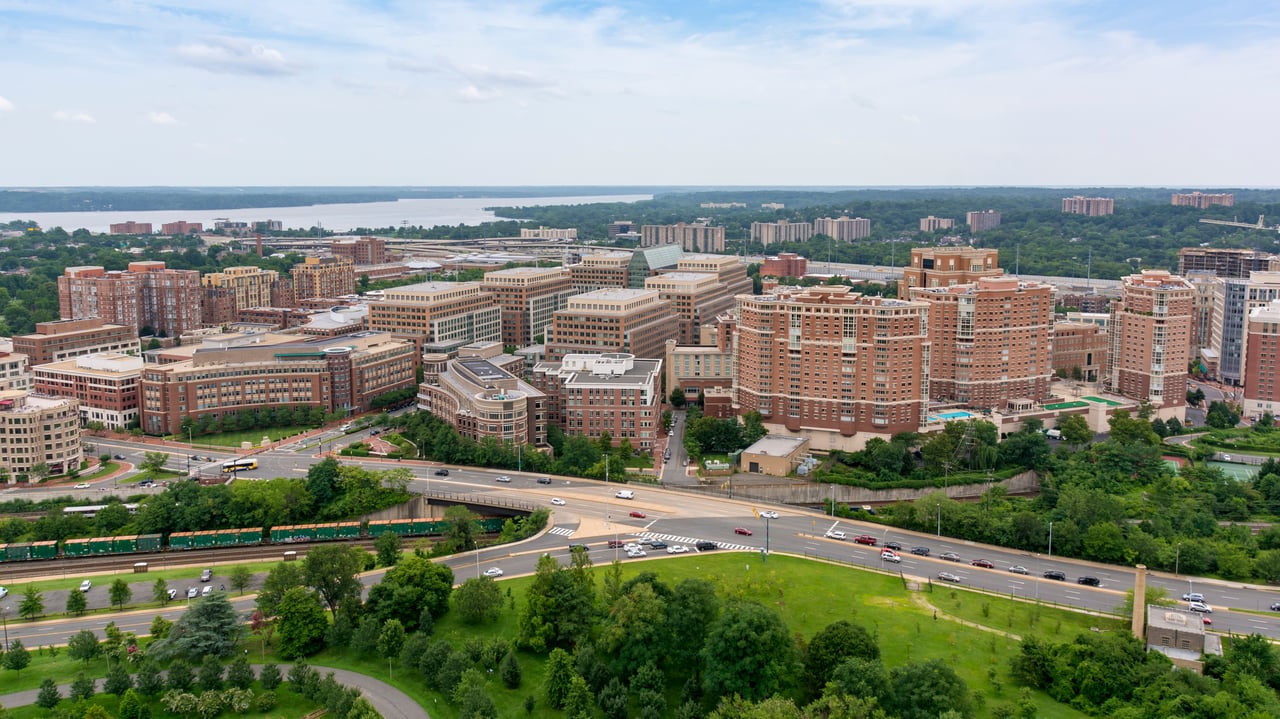
The Rosslyn-Ballston corridor illustrates smart growth planning and the type of transit-oriented development that concentrates high-density, mixed-use development along a major transit corridor, while preserving and enhancing existing residential neighborhoods. Planning for the Rosslyn-Ballston Corridor involved a 12-year intensive effort by citizens, staff, and County officials. It was the first of several key planning efforts that had a significant impact on shaping Arlington as it is today. Arlington and the entire Washington, D.C., area experienced considerable growth during the 1960s as demand for office space soared and new residents flocked here for jobs. County planners and officials saw an opportunity to manage this growth in a way that would reimagine our communities, reduce our dependence on cars, and revitalize struggling retail and business areas. Ultimately, it connected already-thriving residential neighborhoods to public transportation, jobs, schools, parks, shops and services.
When a new regional rail system was being planned during the 1960s, County officials and planners envisioned concentrating high-density development along the path of the new rail system. However, designs for the new rail system outlined a course running parallel to Interstate 66, which would bypass established commercial areas like Ballston. County officials successfully lobbied for an underground line with stations in Rosslyn, Clarendon, Courthouse, Virginia Square and Ballston. Following extensive study and community input, County officials decided on a plan that concentrates the highest density uses within walking distance of Metro stations, tapers densities, heights and uses down to surrounding single-family residential neighborhoods, and provides for a mix of office, hotel, retail and residential development. This is referred to as a “bulls-eye approach,” and it targets the tallest and most dense development within one-quarter mile of each Metro station. The County’s General Land Use Plan incorporates this approach and defines the appropriate land use for each area.
The numbers attest to the success of the Rosslyn-Ballston Corridor. Between 1990 and 2000, population increased by nearly 107 percent within the quarter-mile radius of the Rosslyn-Ballston metro stations, accounting for 28 percent of the County’s overall growth. Today, the results shine in seven mixed-use, walkable, and bicycle-friendly Metro transit villages. Two Metro corridors accommodate 36 million square feet of office space, 6 million square feet of retail space, and over 47,000 residential units.
[Source: Arlingtonva]
3,107 people live in Rosslyn, where the median age is 24 and the average individual income is $86,328. Data provided by the U.S. Census Bureau.
Total Population
Median Age
Population Density Population Density This is the number of people per square mile in a neighborhood.
Average individual Income
There's plenty to do around Rosslyn, including shopping, dining, nightlife, parks, and more. Data provided by Walk Score and Yelp.
Explore popular things to do in the area, including FITIGATORS, Verve Health & Fitness, and Sanford Tim Hairstylist.
| Name | Category | Distance | Reviews |
Ratings by
Yelp
|
|---|---|---|---|---|
| Active | 0.11 miles | 0 reviews | 0/5 stars | |
| Active | 0.26 miles | 37 reviews | 4.2/5 stars | |
| Beauty | 0.13 miles | 0 reviews | 0/5 stars | |
|
|
||||
|
|
||||
|
|
||||
|
|
||||
|
|
||||
|
|
Rosslyn has 1,708 households, with an average household size of 2. Data provided by the U.S. Census Bureau. Here’s what the people living in Rosslyn do for work — and how long it takes them to get there. Data provided by the U.S. Census Bureau. 3,107 people call Rosslyn home. The population density is 31,761 and the largest age group is Data provided by the U.S. Census Bureau.
Total Population
Population Density Population Density This is the number of people per square mile in a neighborhood.
Median Age
Men vs Women
Population by Age Group
0-9 Years
10-17 Years
18-24 Years
25-64 Years
65-74 Years
75+ Years
Education Level
Total Households
Average Household Size
Average individual Income
Households with Children
With Children:
Without Children:
Marital Status
Blue vs White Collar Workers
Blue Collar:
White Collar:
Local expertise and personalized guidance to help you make your next move with confidence.
Dedicated local insight and tailored guidance for every step of your real estate journey.