The Brightwood land was part of a land patent called White Mill Seat in 1756. Later, the area was called Crystal Springs, named after the pure water that flowed from several nearby springs. One of the springs was located near the modern-day intersection of Fourteenth and Kennedy streets, which still flows in the present day, creating a constant stream of water on the sidewalk of the western side of Fourteenth Street, across from the Metrobus building. The area had many chestnut trees, and it was considered a place to enjoy with family. The Passenger Railroad Company ran hourly stagecoaches from Fourteenth Street and Boundary Avenue to the springs, charging 25 cents per ride. The area was later known as Brighton, but residents decided to change the name to Brightwood because the postal service frequently confused it with Brighton, Maryland. Archibald White and Louis Brunett are generally given credit for coming up with the name Brightwood. The area has been known as Brightwood since the 1840s.
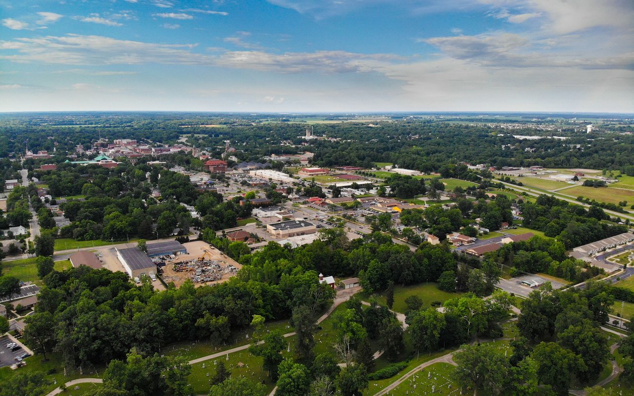
The boundaries of Brightwood are easy to define and have been for many years. In the mid-nineteenth century, Brightwood generally encompassed the region north of Brightwood Park, west of Fort Totten, east of Rock Creek, and south of the Maryland line. Today, the Brightwood Community Association, an association of residents and business owners from the western part of Brightwood, defines the neighborhood's boundaries as Walter Reed Army Medical Center and Aspen Street to the north, 16th Street and Rock Creek Park to the west, Georgia Avenue to the east, and Kennedy Street to the south. Other widely accepted variations bound Brightwood on the east by 5th Street. Nearby neighborhoods include Shepherd Park and Takoma to the north, Manor Park to the east, and Sixteenth Street Heights and Petworth to the south. According to the 2010 census, the neighborhood had 11,242 residents. Much of the retail in the neighborhood is located along Georgia Avenue. Although no Metrorail stations lie within the neighborhood, the Takoma Metrorail station is within walking distance from the northern end of the neighborhood. The Fort Totten Metro Station is also within walking distance from other areas of Brightwood. There are several Metrobus routes that serve the community.
[Source: Wikipedia]
13,177 people live in Brightwood, where the median age is 39 and the average individual income is $48,237. Data provided by the U.S. Census Bureau.
Total Population
Median Age
Population Density Population Density This is the number of people per square mile in a neighborhood.
Average individual Income
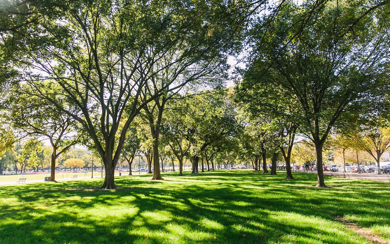
There's plenty to do around Brightwood, including shopping, dining, nightlife, parks, and more. Data provided by Walk Score and Yelp.
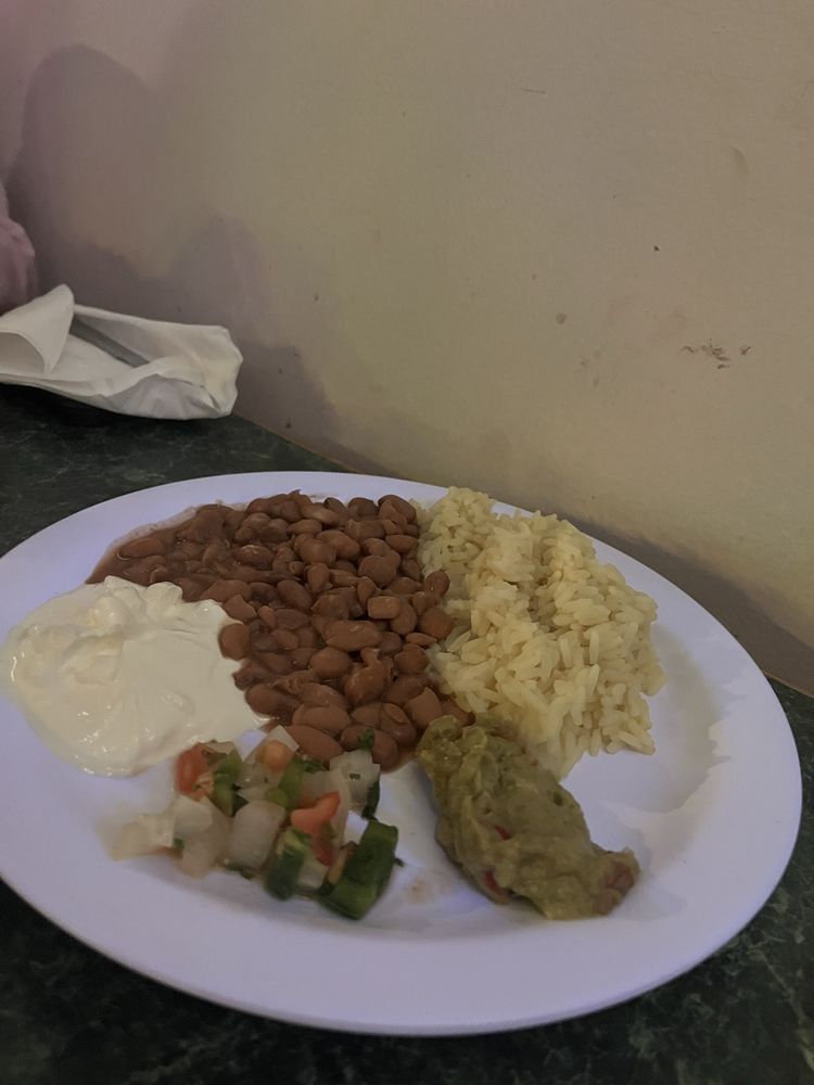
Explore popular things to do in the area, including Haydees 2000, La Villa Restaurant, and Haydees 2000.
| Name | Category | Distance | Reviews |
Ratings by
Yelp
|
|---|---|---|---|---|
| Dining · $$ | 0.14 miles | 36 reviews | 3.4/5 stars | |
| Dining · $$ | 0.23 miles | 11 reviews | 4.5/5 stars | |
| Beauty | 0.13 miles | 0 reviews | 0/5 stars | |
|
|
||||
|
|
||||
|
|
||||
|
|
||||
|
|
||||
|
|
Brightwood has 5,124 households, with an average household size of 3. Data provided by the U.S. Census Bureau. Here’s what the people living in Brightwood do for work — and how long it takes them to get there. Data provided by the U.S. Census Bureau. 13,177 people call Brightwood home. The population density is 26,934 and the largest age group is Data provided by the U.S. Census Bureau.
Total Population
Population Density Population Density This is the number of people per square mile in a neighborhood.
Median Age
Men vs Women
Population by Age Group
0-9 Years
10-17 Years
18-24 Years
25-64 Years
65-74 Years
75+ Years
Education Level
Total Households
Average Household Size
Average individual Income
Households with Children
With Children:
Without Children:
Marital Status
Blue vs White Collar Workers
Blue Collar:
White Collar:
Local expertise and personalized guidance to help you make your next move with confidence.
Dedicated local insight and tailored guidance for every step of your real estate journey.